For further details on this topic, read the paper published in the journal Ocean & Coastal Management: PDF here
An aspect of New Jersey’s marshes that has always puzzled me is: why are the Delaware Bay’s marshes are treacherously muddy and difficult to traverse?
This is compared to the Atlantic Coast marshes that are almost without exception solid underfoot.
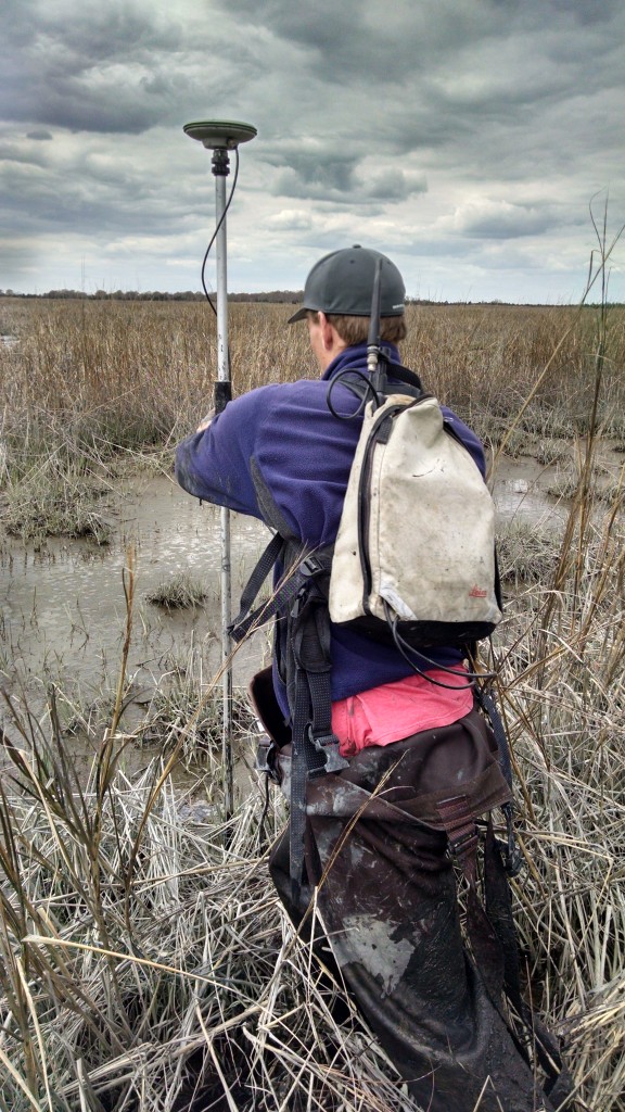
I’ve spent time on salt marshes for most of my life, duck hunting on Delaware Bay and Atlantic Coast marshes. I still hunt and now do research in these marshes. I have been visiting some of the same spots for over 30 years, which gives me perspective change and stability in salt marshes.
For a long time I assumed that there were simply inherent differences between Atlantic Coast and Delaware Bay marshes that made the Bay marshes so sloppy. But just saying “it is what it is” has become increasingly unsatisfying. Lately I am in pursuit of an explanation.
My key insight into the problem of the treacherous Delaware Bay marshes came in 2008 with the availability of LIDAR elevation maps for south Jersey. This was the first topographic map for marshes ever and it brought clearly into view the impacts of salt hay farming on marsh elevation.
Places with active farms had elevations far below that of the surrounding marsh. They reminded me of New Orleans, dry land sitting in a basin surrounded by levees.
Slowly I pieced together a story by poring over aerial imagery and LIDAR, reading historical accounts of Bayshore livelihoods and talking to locals.
I noticed that beyond the treacherous marsh there were even more treacherous areas of open mudflats within the marsh. I realized that these too were not necessarily the work of nature, but instead the legacy of past marsh management. Speaking to an old timer once about once of these areas, he referred to it as “the drowned meadow”.
“Meadow” is the local term for salt marsh, but more specifically salt marsh that is used by people for farming. That mudflat was once salt marsh.
Although there are almost no actively farmed marsh areas left today, continued research and map interpretation has revealed that vast areas of Delaware Bay salt marsh were once surrounded by dikes to keep out tides in order to facilitate farming of salt hay and upland crops.
Overt signs of this past use are scarce now, with dikes and water control structures long washed away. But those mudflats and treacherous soft mud marsh are signs in themselves.
My curiosity about the impacts of these past management practices on marshes has evolved into a research project (funded by the Dupont Clear into the Future Program). The goal of this project is to, for the first time, get a full accounting of how much of our marshes were used for farming. By mapping formerly farmed areas along with those areas that were never farmed, we can then examine patterns of marsh condition.

We are finding that marsh farming has left lasting impacts on salt marshes that threatens their future persistence as sea level rise progresses. These marshes are lower in elevation, have less vegetation coverage, and less high marsh than areas that were never farmed. And like I said before, they are a lot more difficult to walk across.
Our findings point out that human impacts have had a far greater influence on the loss and degradation of salt marsh in the Delaware Bay than climate change and sea level rise. This means that restoration, by correcting the sins of the past, can play a major role in ensuring the long term persistence of marsh.
It emphasizes also that any assessment of marsh condition must carefully separate the local human impacts to marshes resulting from current and past management from the impacts of sea level rise. Without this clarity of understanding, deciding where and how to restore salt marsh and predicting the likelihood of success become a muddy affair.
To learn more about the practice of farming marshes and its impacts, read my other posts on the topic: