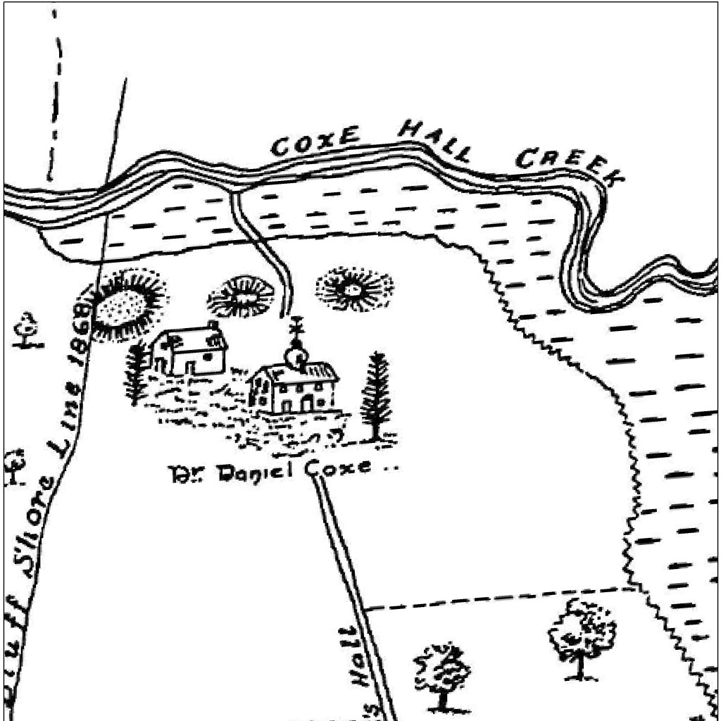
The last chapter in my investigation of the old Portsmouth/Town Bank map concerns a site on the map labelled “Dr. Daniel Coxe.”
Dr. Daniel Coxe aquired ownership of 95,000 acres (about 1/4 of present-day of Cape May County) in 1688 and helped establish the town of Portsmouth. The home base for this venture was Coxe Hall, at the north end of the map. Just four years later he began selling his holdings and by 1699 these lands were divided among 42 landowners.
Coxe Hall Creek still bears the name of Dr. Coxe’s manor home and I often wondered about the building’s exact location. Thanks to the historic map we can see approximately where the hall once stood. The road going from Townbank Road up to Coxe Hall (now called Clubhouse Road) is still there today, right down to the little curve right before the creek crossing.
See for yourself in the then/now slider map:

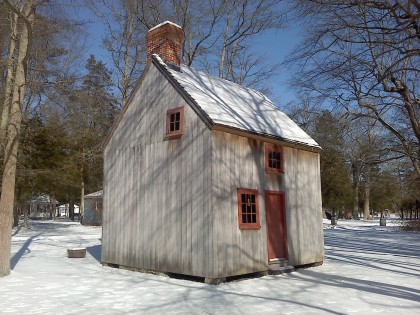
Amazingly, a bit of Coxe Hall still exists. A cottage that once stood on Hall grounds has been restored and is now at Cold Spring Village (and is pictured above).

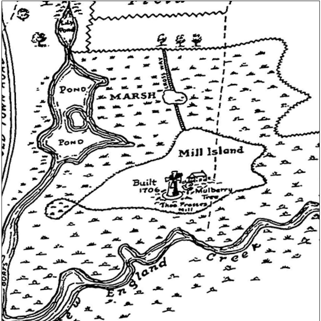
Another interesting feature of this map is a place called “Mill Island,” which was a dry island in the middle of a marsh next to New England Creek (now the Cape May Canal).
Once I started rectifying the map I realized that the piece of high ground that once was home to a mill (and a mulberry tree) is now the site of the Cape May Ferry Terminal. The marshes around the island are mostly gone, having been filled with dredge from the canal. Check it out in the slider map above.